
Established in 1870 and with a population nearing 35,000, it boarders with Masinloc on the North and Iba, the Provincial Capital on the South. Along the boarder of Tarlac lays the highest point in Zambales, the 2037 meter High Peak.
Tourist attractions:
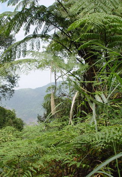
Mountains: |
 |
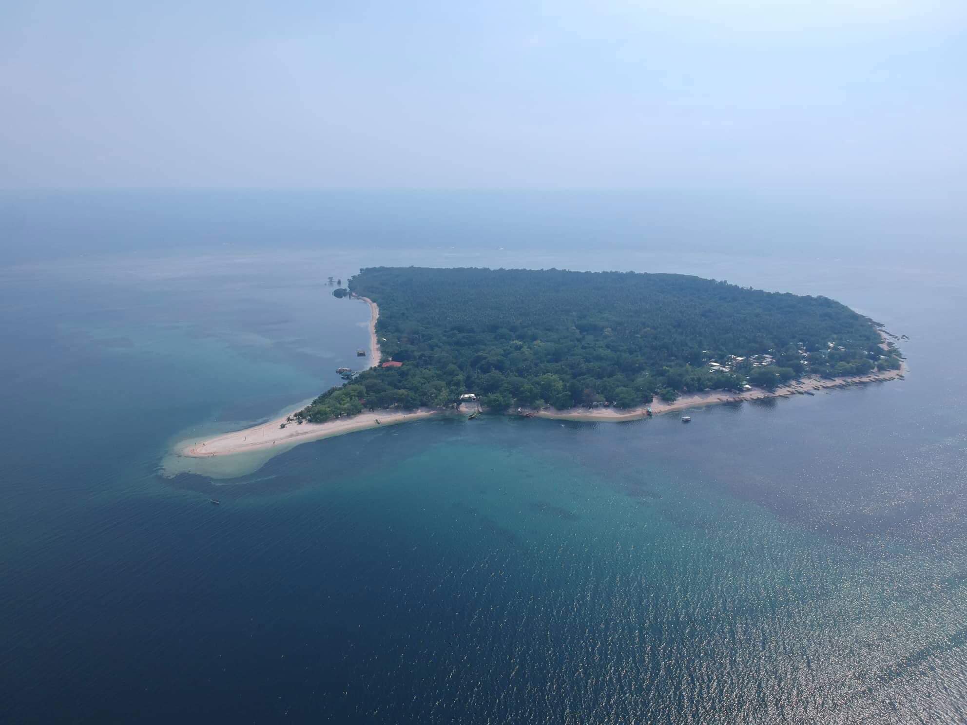 |
Islands: Magalawa Island, off the South most tip of Masinloc Bay, though still within Palauig is a small island with pristine waters and abundant with star fish and aquatic life, though privately owned, it is developing into a popular tourist destination.
Rivers: Salaza River offers some spectacular scenery and at times is abundant with fireflies amongst the areas of Nippa Palms that abound along its banks.
|
Beaches: The coastal areas also offer beaches, though this is an area that is still developing. |
|
.  .
. 
DIRECTORY: ..(By Municipality / City, North to South)
Sta. Cruz.....Candelaria....Masinloc.. .Palauig. ..Iba ... .Botolan ...Cabangan... .San Felipe .. .San Narciso
.
..San Antonio .. ..San Marcelino.. ...Castillejos .....Subic .....Olongapo City ....Subic Bay Freeport Zone
Other information:.
.
Advertise with us ....Accommodation.....Water Safety....Real Estate....Business Directory.....Contact us
Contact us: Email:
zambalesguidebook@gmail.com
www.zambalesphilippines.com
© Zambales Guide Book 2020. Website by Roger J. Bound.
A project of Zambales Lifesaving Inc. to assist in the promotion of Zambales, in support of the Provincial Government of Zambales and those Municipalities and Resorts that assist in making Zambales a water safety concious tourist destination.